
3D Laser Scanning
On-site terrestrial laser scanning captures existing conditions in high-density, accurate point cloud data.
JD Stairs Lidar Scanning captures your site or structure in millimeter-accurate detail and delivers clean, CAD- and BIM-ready as-built drawings — so architects, contractors, and engineers can design and build with confidence.
Backed by JD Stairs — Metal + Wood Artisans
Millimeter-level accuracy from terrestrial 3D laser scanning.
Deliverables built for Revit, AutoCAD, and common BIM workflows.
Efficient field capture and streamlined drafting to keep projects moving.
Grown out of JD Stairs' decades of hands-on fabrication and installation.
JD Stairs has spent years designing, fabricating, and installing custom metal and wood staircases, railings, doors, and structural steel — work that demands precise measurements and drawings that hold up on the job site.
JD Stairs Lidar Scanning takes that same standard for accuracy and applies it to 3D laser scanning and as-built drawing services for any project, not just our own — giving architects, contractors, and engineers a dependable source of truth before design and construction begin.
Why it matters: Drawings built from real, measured site conditions reduce costly surprises, rework, and change orders later in a project.
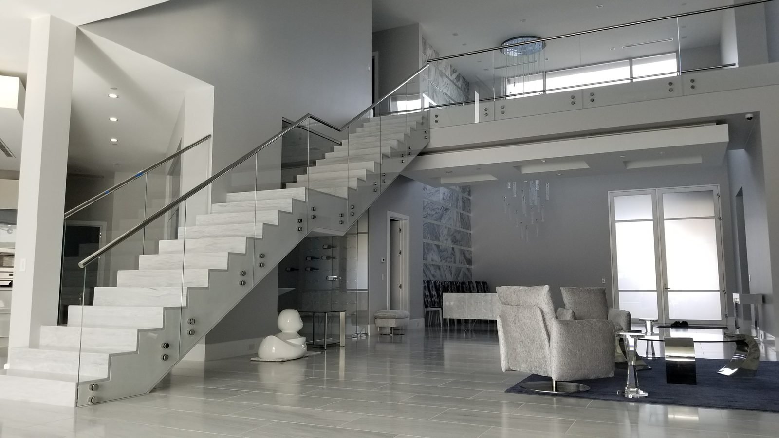
From initial site capture to finished drawings, we handle the full workflow — or plug into wherever you are in your project.
On-site terrestrial laser scanning captures existing conditions in high-density, accurate point cloud data.
Accurate 2D floor plans, elevations, and sections generated directly from scan data.
Clean, organized CAD files and Revit-ready BIM models built from registered point cloud data.
Detailed documentation of existing structures for renovation, restoration, and preservation projects.
Compare built conditions against design intent to catch discrepancies before they become problems.
Comprehensive digital records of a site or structure at a point in time, for planning or archival purposes.
A straightforward four-step workflow designed to fit into your project timeline.
We capture the space or structure with terrestrial laser scanning equipment on-site.
Scan data is registered, cleaned, and merged into a single accurate 3D point cloud.
Our team drafts as-built plans, elevations, or a BIM model directly from the point cloud.
You receive finished files in your preferred format, with revisions available if needed.
Note: the residential photo shows real JD Stairs craftsmanship; the commercial and historic photos are stock images representing the type of work described. None are documentation from a completed Lidar Scanning project yet — swap in real scan-to-drawing examples as they become available.
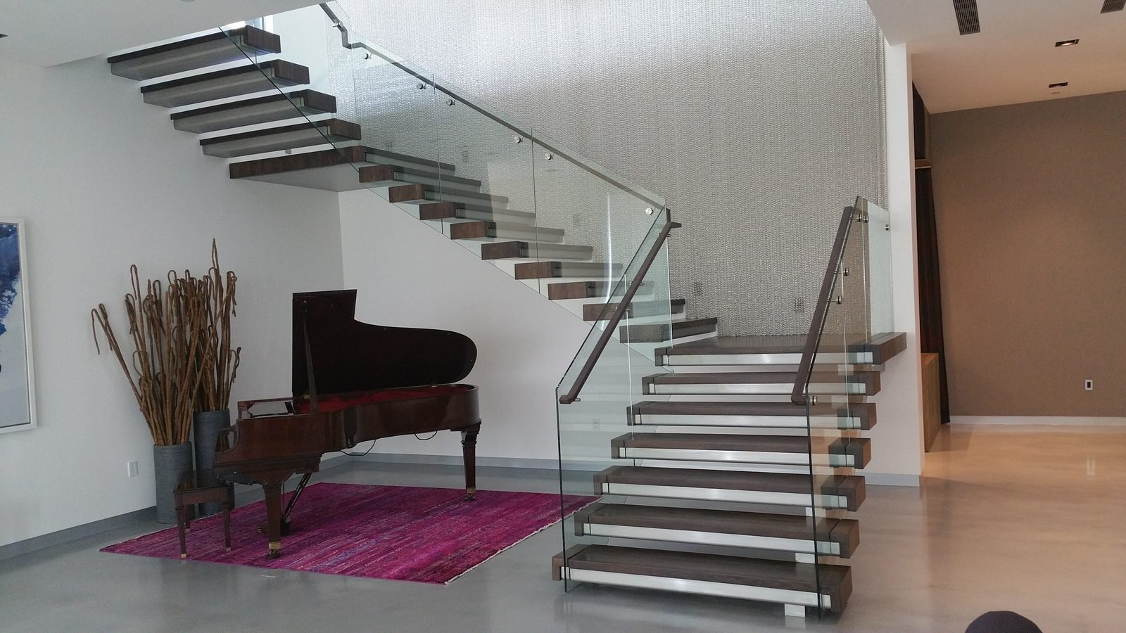
Existing-conditions scan for a custom staircase replacement.

Full-floor point cloud capture converted into CAD floor plans.
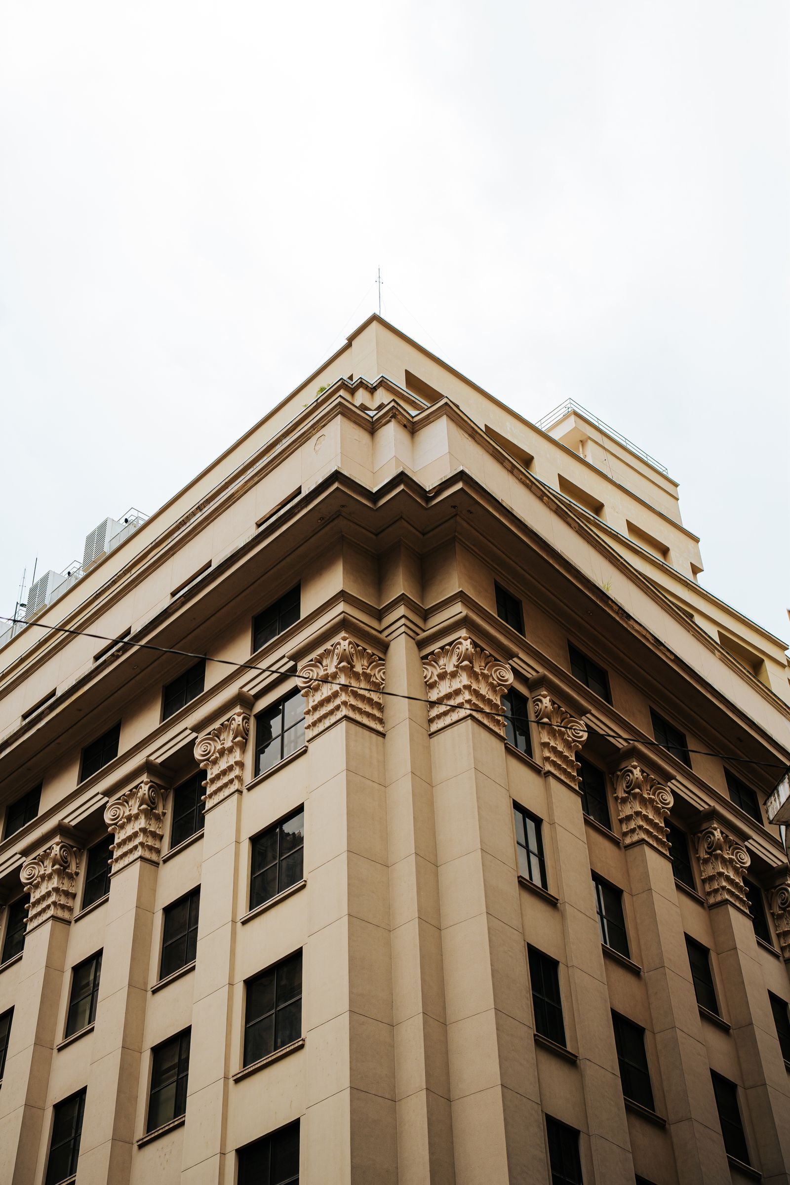
Detailed exterior scan supporting a preservation-focused renovation.
Builders & developers we've worked with






Share a few details about your project and we'll get back to you with availability and pricing.
Based alongside JD Stairs — ask us about coverage in your area.